ၾၢႆႇ:Spain location map.svg

Size of this PNG preview of this SVG file: 699 × 600 ၽိၵ်ႉသႄႇလ်. resolutionsတၢင်ႇဢၼ် : 280 × 240 ၽိၵ်ႉသႄႇလ် | 559 × 480 ၽိၵ်ႉသႄႇလ် | 895 × 768 ၽိၵ်ႉသႄႇလ် | 1,193 × 1,024 ၽိၵ်ႉသႄႇလ် | 2,387 × 2,048 ၽိၵ်ႉသႄႇလ် | 1,184 × 1,016 ၽိၵ်ႉသႄႇလ် ။
ၾၢႆႇငဝ်ႈတိုၼ်း (ၾၢႆႇ SVG, ၸိုဝ်ႈ 1,184 × 1,016 pixels, သႅၼ်းၾၢႆႇ : 536 KB)
ႁူဝ်ႁုပ်ႈ
| ၶေႃႈသပ်းလႅင်း |
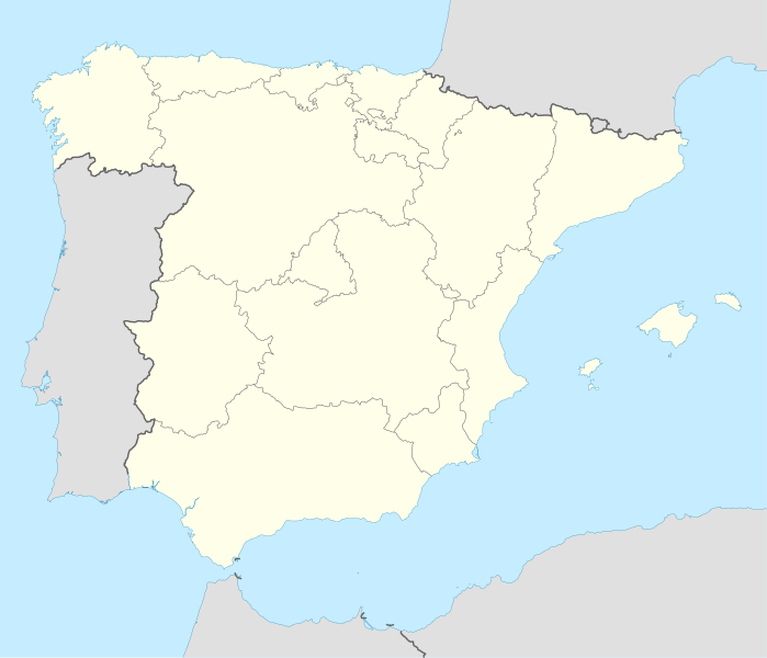
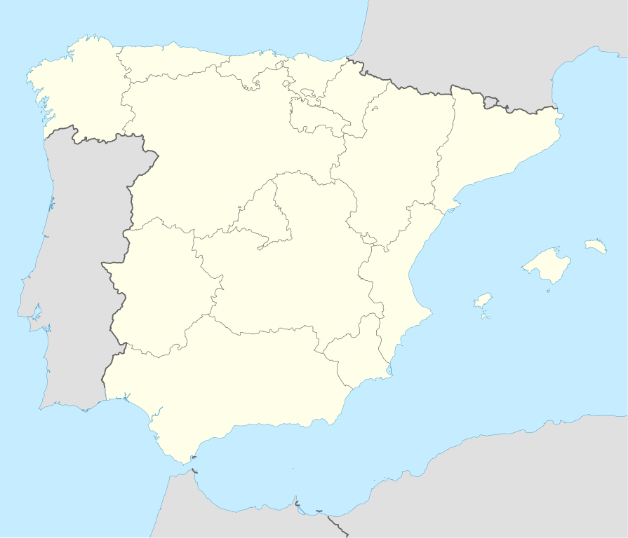
Deutsch: Positionskarte von Spanien
Quadratische Plattkarte, N-S-Streckung 130 %. Geographische Begrenzung der Karte:
English: Location map of Spain
Equirectangular projection, N/S stretching 130 %. Geographic limits of the map:
|
||
| ဝၼ်းထီႉ | |||
| ငိူၼ်ႈငဝ်ႈတိုၼ်း | ၵၢၼ်ၶွင်တူဝ် | ||
| ၽူႈတႅမ်ႈလိၵ်ႈ | NordNordWest | ||
| Other versions |
Derivative works of this file: |
||
| SVG genesis | This locator map was created with Inkscape by NordNordWest.
|

ဝ်ႂ
I, the copyright holder of this work, hereby publish it under the following licenses:

|
ပၼ်ၶႂၢင်ႉ တႃႇတေ ထုတ်ႇဢဝ်၊ ၽႄႈတိုၼ်း လႄႈ/ဢမ်ႇၼၼ် မႄးထတ်း ၼႂ်းလိၵ်ႈၼႆႉ ၸွမ်းၼင်ႇ ၶေႃႈမၼ်ႈၸႂ် GNU Free Documentation License, Version 1.2 ဢမ်ႇၼၼ် ၸိူဝ်းပဵၼ် မၢႆဢွၵ်ႇ ဢၼ်ထုၵ်ႇပိုၼ်ဢွၵ်ႇ ဝၢႆးလင် ၼင်ႇ Free Software Foundation; ဢၼ်ဢမ်ႇမီး လွင်ႈလႅၵ်ႈလၢႆႈ ၵႃႈတီႈ တွၼ်ႈၵၼ်၊ လိၵ်ႈၸိူဝ်းမီးတီႈ ၼႃႈသိုဝ်ႈၽၢႆႈၼႃႈ၊ ၼႃႈသိုဝ်ႈၽၢႆႇလင်။ဢၼ်ပဵၼ် ဝႂ်တႃႇထုတ်ႇဢဝ်ၼႆႉ မၼ်းတေၶဝ်ႈပႃးဝႆႉ ၵႃႈတီႈ တွၼ်ႈၵၼ် ဢၼ်မီးႁူဝ်ၶေႃႈဝႃႈ GNU Free Documentation License ၼၼ်ႉ။ |
ၾၢႆႇဢၼ်ၼႆႉၼႆႉ မီးသုၼ်ႇဝႂ် ပႃႈတႂ်ႈ ၶွင် Creative Commons Attribution-Share Alike 3.0 Unported ဝႆႉၼႆႉ။
- ၸဝ်ႈၵဝ်ႇထၢင်ႇႁၢင်ႈ
- တႃႇၽႄၸႂ်ႉ – တွၼ်ႈတႃႇထုတ်ႇဢဝ်၊ ပိုၼ်ၽႄႈ လႄႈ ပိုၼ်ဢွၵ်ႇပၼ် ၼႃႈၵၢၼ်။
- ၶိုၼ်းထႅမ်သႂ်ႇ – မႄးထွင်ၵၢၼ် ႁႂ်ႈသၢင်ႇထုၵ်ႇ
- ၸွမ်းၼင်ႇ သၢႆႇငၢႆတီႈတႂ်ႈၼႆႉ
- ႁၢင်ႈၽၢင်ၶဝ်ႈပႃး – ၸဝ်ႈၵဝ်ႇတေလႆႈမွၵ်ႇပၼ်ၸိုဝ်ႈ ဢၼ်သၢင်ႇထုၵ်ႇ တွၼ်ႈတႃႇ ႁဵင်းၵွင်ႉ ဢၼ်ၵမ်ႉထႅမ်ပၼ် ဝႂ်ၶႂၢင်း လႄႈ သင်ၸိူဝ်ႉဝႃႈ လႆႈမီးလွင်ႈလႅၵ်ႈလၢႆႈမႃးၼႆ ၶႅၼ်းတေႃႈ ၸီႉၼႄပၼ်သေၵမ်း။ ၸဝ်ႈၵဝ်ထုၵ်ႇလီႁဵတ်း ႁႂ်ႈပဵၼ်တၢင်းႁဵတ်းသၢင်ႈ မီးလွင်ႈမီးတၢင်းမၼ်း၊ ၵူၺ်းၵႃႈဝႃႈ မၼ်းဢမ်ႇမၢႆထိုင်ဝႃႈ ဝႂ်ၶႂၢင်းၼၼ်ႉ မၼ်းတေပဵၼ် ဢၼ်ၸွႆႈဢၼ်ၵမ်ႉထႅမ်ပၼ် ၸဝ်ႈၵဝ်ႇ ဢမ်ႇၼၼ် ဢၼ်ၸဝ်ႈၵဝ်ႇၸႂ်ႉဝႆႉၼၼ်ႉ။
- သျေး ဢၼ်မိူၼ် – သင်ၸိူဝ်ႉဝႃႈ ၸဝ်ႈၵဝ်ႇ ၶိုၼ်းလေႃး၊ လႅၵ်ႈလၢႆႈ၊ မႄးၶိုၼ်း ဢမ်ႇၼၼ် ၵေႃႇသၢင်ႈ ၵႃႈတီႈၼိူဝ် ၼႃႈၵၢၼ်ၼႆႉၸိုင်၊ ၸဝ်ႈၵဝ်ႇ တေလႆႈဢဝ် လွင်ႈၸွႆႈသၢင်ႈၸဝ်ႈၵဝ်ႇၼႆႉ ပိုၼ်ၽႄႈ ၽၢႆႇတႂ်ႈ မိူၼ်ၼင်ႇ ဢမ်ႇၼၼ် ဝႂ်ငမ်ႇမႅၼ်ႈ ၼင်ႇ ငဝ်ႈတိုၼ်းမၼ်းၼၼ်ႉယဝ်ႉ။
ၸဝ်ႈၵဝ်ႇထုၵ်ႇလိူၵ်ႈ ဝႆတွၼ်ႈတႃႇ ဢၼ်ၸဝ်ႈၵဝ်ႇလိူၵ်ႈၼၼ်ႉ
ပိုၼ်းၾၢႆႇ
တဵၵ်းၼိူဝ် ဝၼ်းထိ/ၶၢဝ်းယၢမ်း တႃႇႁၼ်ၾၢႆႇ ၼႂ်းဝၼ်းၼၼ်ႉ
| ဝၼ်းထီႉ/ၶၢဝ်းယၢမ်း | ႁၢင်ႈလဵၵ်ႉ | သႅၼ်းမၼ်း | ၽူႈၸႂ်ႉတိုဝ်း | တၢင်းႁၼ်ထိုင် | |
|---|---|---|---|---|---|
| ယၢမ်းလဵဝ် | 14:23, 7 ၸူႇလၢႆႇ 2008 | | 1,184 × 1,016 (536 KB) | NordNordWest | |
| 13:58, 4 ၸူႇလၢႆႇ 2008 |  | 1,184 × 1,016 (785 KB) | NordNordWest | corrected | |
| 13:54, 4 ၸူႇလၢႆႇ 2008 |  | 1,184 × 1,016 (791 KB) | NordNordWest | {{Information |Description= {{de|Positionskarte von Spanien}} Quadratische Plattkarte, N-S-Streckung 130 %. Geographische Begrenzung der Karte: * N: 44.4° N * S: 34.7° N * W: 9.9° W * O: 4.8° O {{en|Location map of Spain} |
လွင်ႈၸႂ်ႉတိုဝ်း ၾၢႆႇ
2 ၼႃႈလိၵ်ႈ ၵွင်ႉမႃးၸူးၾၢႆႇၼႆႉ:
လွင်ႈၸႂ်ႉတိုဝ်းၾၢႆႇလူမ်ႈၽႃႉ
Wikis ၸိူဝ်းဢၼ်ၸႂ်ႉဝႆႉ ၾၢႆႇဢၼ်ၼႆႉ:
- ၸႂ်ႉဝႆႉ ace.wikipedia.org
- ၸႂ်ႉဝႆႉ af.wikipedia.org
- Cadaqués
- Alt Empordà
- Almazán
- Ágreda
- San Leonardo de Yagüe
- Abejar
- Adradas
- Alconaba
- Alcubilla de las Peñas
- Aldealafuente
- Alcubilla de Avellaneda
- Aldealices
- Almajano
- Yelo
- Aldealpozo
- Aldealseñor
- Alentisque
- Aliud
- Almaluez
- Almarza
- Cubilla
- Covaleda
- Ciria
- Cigudosa
- Dévanos
- Cihuela
- Coscurita
- Barca
- Nepas
- Nolay
- Noviercas
- Liceras
- La Losilla
- Portillo de Soria
- Oncala
- Ólvega
- Rioseco de Soria
- La Riba de Escalote
- Renieblas
- Quintana Redonda
- Los Rábanos
- Recuerda
- Rebollar
- Almazul
- Baraona
- Blacos
- Calatañazor
- Candilichera
တူၺ်း ၾၢႆႇmore global usage ဢၼ်ၼႆႉ