ၾၢႆႇ:Australia Western Australia location map blank.svg

ၾၢႆႇငဝ်ႈတိုၼ်း (ၾၢႆႇ SVG, ၸိုဝ်ႈ 1,205 × 1,738 pixels, သႅၼ်းၾၢႆႇ : 746 KB)
| ၶေႃႈသပ်းလႅင်း |
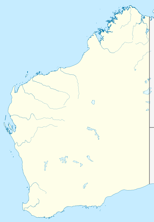
Quadratische Plattkarte, N-S-Streckung 110 %. Geographische Begrenzung der Karte:
Equirectangular projection, N/S stretching 110 %. Geographic limits of the map:
|
|
| ဝၼ်းထီႉ | (UTC) | |
| ငိူၼ်ႈငဝ်ႈတိုၼ်း |
|
|
| ၽူႈတႅမ်ႈလိၵ်ႈ |
|
|
| ၶေႃႈလူတ်းပွႆႇ (ၶိုၼ်းၸႂ်ႉ ၾၢႆႇဢၼ်ၼႆႉ) |
This file is licensed under the Creative Commons Attribution-Share Alike 3.0 Germany license.
 |


|
This map has been made or improved in the German Kartenwerkstatt (Map Lab). You can propose maps to improve as well.
|
- ၸဝ်ႈၵဝ်ႇထၢင်ႇႁၢင်ႈ
- တႃႇၽႄၸႂ်ႉ – တွၼ်ႈတႃႇထုတ်ႇဢဝ်၊ ပိုၼ်ၽႄႈ လႄႈ ပိုၼ်ဢွၵ်ႇပၼ် ၼႃႈၵၢၼ်။
- ၶိုၼ်းထႅမ်သႂ်ႇ – မႄးထွင်ၵၢၼ် ႁႂ်ႈသၢင်ႇထုၵ်ႇ
- ၸွမ်းၼင်ႇ သၢႆႇငၢႆတီႈတႂ်ႈၼႆႉ
- ႁၢင်ႈၽၢင်ၶဝ်ႈပႃး – ၸဝ်ႈၵဝ်ႇတေလႆႈမွၵ်ႇပၼ်ၸိုဝ်ႈ ဢၼ်သၢင်ႇထုၵ်ႇ တွၼ်ႈတႃႇ ႁဵင်းၵွင်ႉ ဢၼ်ၵမ်ႉထႅမ်ပၼ် ဝႂ်ၶႂၢင်း လႄႈ သင်ၸိူဝ်ႉဝႃႈ လႆႈမီးလွင်ႈလႅၵ်ႈလၢႆႈမႃးၼႆ ၶႅၼ်းတေႃႈ ၸီႉၼႄပၼ်သေၵမ်း။ ၸဝ်ႈၵဝ်ထုၵ်ႇလီႁဵတ်း ႁႂ်ႈပဵၼ်တၢင်းႁဵတ်းသၢင်ႈ မီးလွင်ႈမီးတၢင်းမၼ်း၊ ၵူၺ်းၵႃႈဝႃႈ မၼ်းဢမ်ႇမၢႆထိုင်ဝႃႈ ဝႂ်ၶႂၢင်းၼၼ်ႉ မၼ်းတေပဵၼ် ဢၼ်ၸွႆႈဢၼ်ၵမ်ႉထႅမ်ပၼ် ၸဝ်ႈၵဝ်ႇ ဢမ်ႇၼၼ် ဢၼ်ၸဝ်ႈၵဝ်ႇၸႂ်ႉဝႆႉၼၼ်ႉ။
- သျေး ဢၼ်မိူၼ် – သင်ၸိူဝ်ႉဝႃႈ ၸဝ်ႈၵဝ်ႇ ၶိုၼ်းလေႃး၊ လႅၵ်ႈလၢႆႈ၊ မႄးၶိုၼ်း ဢမ်ႇၼၼ် ၵေႃႇသၢင်ႈ ၵႃႈတီႈၼိူဝ် ၼႃႈၵၢၼ်ၼႆႉၸိုင်၊ ၸဝ်ႈၵဝ်ႇ တေလႆႈဢဝ် လွင်ႈၸွႆႈသၢင်ႈၸဝ်ႈၵဝ်ႇၼႆႉ ပိုၼ်ၽႄႈ ၽၢႆႇတႂ်ႈ မိူၼ်ၼင်ႇ ဢမ်ႇၼၼ် ဝႂ်ငမ်ႇမႅၼ်ႈ ၼင်ႇ ငဝ်ႈတိုၼ်းမၼ်းၼၼ်ႉယဝ်ႉ။
Original upload log
This image is a derivative work of the following images:
- File:Australia_Western_Australia_location_map.svg licensed with Cc-by-sa-3.0
- 2010-04-04T22:09:38Z Chumwa 1205x1738 (857076 Bytes) Reverted to version as of 21:21, 23 January 2010
- 2010-04-04T21:44:58Z Roke 1205x1738 (763706 Bytes) local government low salience, dont appear on general use maps
- 2010-01-23T21:21:43Z NordNordWest 1205x1738 (857076 Bytes) =={{int:filedesc}}== {{Information |Description= {{de|Positionskarte von [[:de:Western Australia|Western Australia]], [[:de:Australien|Australien]]}} Quadratische Plattkarte, N-S-Streckung 110 %. Geographische Begrenzung der
Uploaded with derivativeFX
ပိုၼ်းၾၢႆႇ
တဵၵ်းၼိူဝ် ဝၼ်းထိ/ၶၢဝ်းယၢမ်း တႃႇႁၼ်ၾၢႆႇ ၼႂ်းဝၼ်းၼၼ်ႉ
| ဝၼ်းထီႉ/ၶၢဝ်းယၢမ်း | ႁၢင်ႈလဵၵ်ႉ | သႅၼ်းမၼ်း | ၽူႈၸႂ်ႉတိုဝ်း | တၢင်းႁၼ်ထိုင် | |
|---|---|---|---|---|---|
| ယၢမ်းလဵဝ် | 00:29, 10 ဢေႇပရႄႇ 2010 | | 1,205 × 1,738 (746 KB) | Roke~commonswiki | {{Information |Description={{de|Positionskarte von Western Australia, Australien}} Quadratische Plattkarte, N-S-Streckung 110 %. Geographische Begrenzung der Karte: * N: 13.2° S * S: 35.5° S * W: 112.5° O * |
လွင်ႈၸႂ်ႉတိုဝ်း ၾၢႆႇ
2 ၼႃႈလိၵ်ႈ ၵွင်ႉမႃးၸူးၾၢႆႇၼႆႉ:
လွင်ႈၸႂ်ႉတိုဝ်းၾၢႆႇလူမ်ႈၽႃႉ
Wikis ၸိူဝ်းဢၼ်ၸႂ်ႉဝႆႉ ၾၢႆႇဢၼ်ၼႆႉ:
- ၸႂ်ႉဝႆႉ ar.wikipedia.org
- ၸႂ်ႉဝႆႉ ast.wikipedia.org
- ၸႂ်ႉဝႆႉ ceb.wikipedia.org
- ၸႂ်ႉဝႆႉ ckb.wikipedia.org
- ၸႂ်ႉဝႆႉ da.wikipedia.org
- ၸႂ်ႉဝႆႉ de.wikipedia.org
- ၸႂ်ႉဝႆႉ en.wikipedia.org
- ၸႂ်ႉဝႆႉ fa.wikipedia.org
- ၸႂ်ႉဝႆႉ gl.wikipedia.org
- ၸႂ်ႉဝႆႉ ja.wikipedia.org
- ၸႂ်ႉဝႆႉ ka.wikipedia.org
- ၸႂ်ႉဝႆႉ kn.wikipedia.org
- ၸႂ်ႉဝႆႉ ko.wikipedia.org
- ၸႂ်ႉဝႆႉ mk.wikipedia.org
- ၸႂ်ႉဝႆႉ ml.wikipedia.org
- ၸႂ်ႉဝႆႉ no.wikipedia.org
- ၸႂ်ႉဝႆႉ pl.wikipedia.org
- ၸႂ်ႉဝႆႉ pl.wikibooks.org
- ၸႂ်ႉဝႆႉ pt.wikipedia.org
- ၸႂ်ႉဝႆႉ ro.wikipedia.org
- ၸႂ်ႉဝႆႉ sco.wikipedia.org
- ၸႂ်ႉဝႆႉ simple.wikipedia.org
- ၸႂ်ႉဝႆႉ si.wikipedia.org
- ၸႂ်ႉဝႆႉ sl.wikipedia.org
- ၸႂ်ႉဝႆႉ tr.wikipedia.org
- ၸႂ်ႉဝႆႉ uk.wikipedia.org
- ၸႂ်ႉဝႆႉ ur.wikipedia.org
- ၸႂ်ႉဝႆႉ uz.wikipedia.org
တူၺ်း ၾၢႆႇmore global usage ဢၼ်ၼႆႉ